
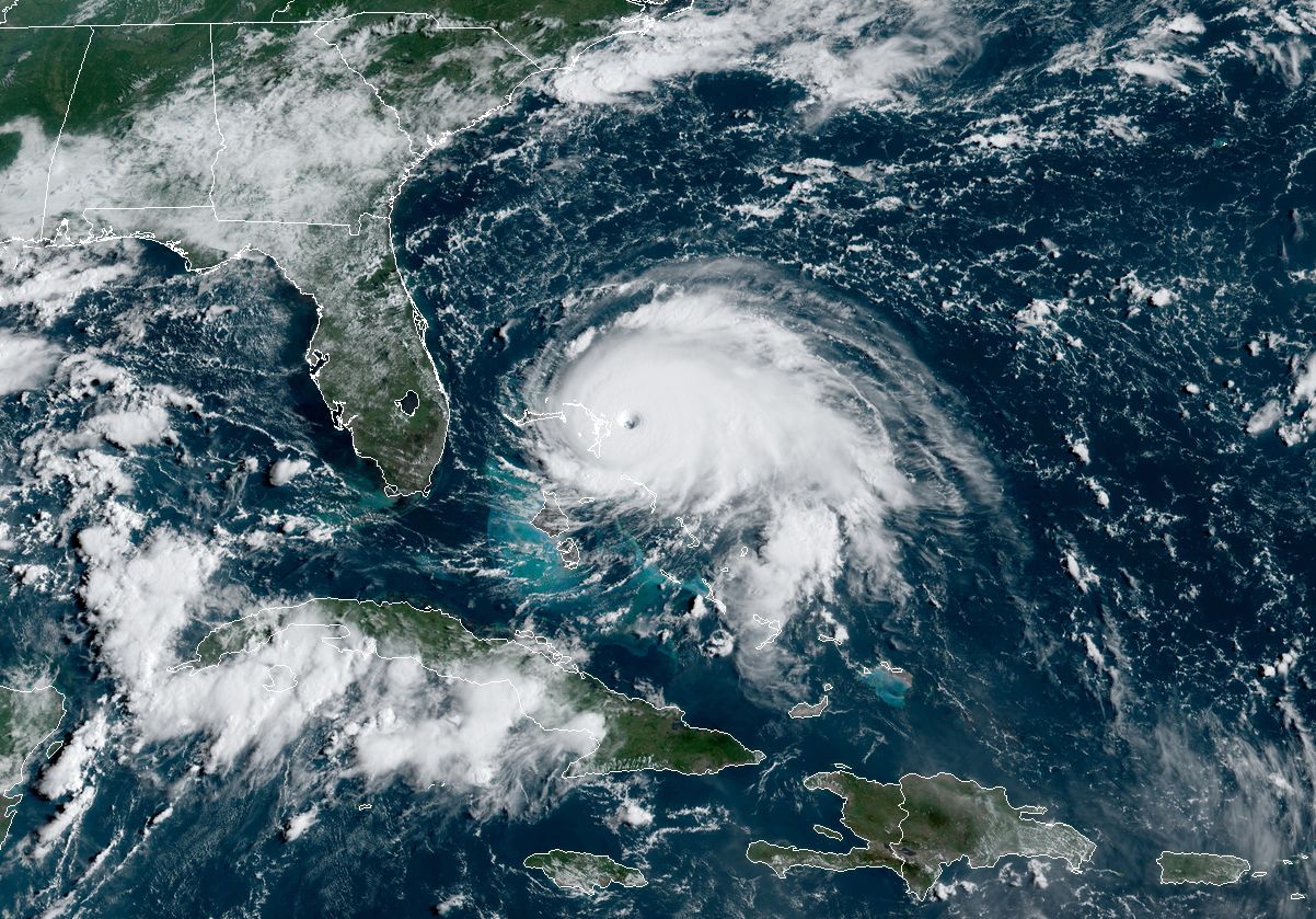
Everything else has been canceled this year, so doesn't it seem fair that we should cancel the Atlantic hurricane season as well? Alas, life is rarely fair, and that seems especially so in the midst of a pandemic.
The most prominent seasonal hurricane forecaster said Thursday there are several signals in the oceans and atmosphere that point toward a busy summer and fall for the Atlantic Ocean, Caribbean Sea, and Gulf of Mexico.
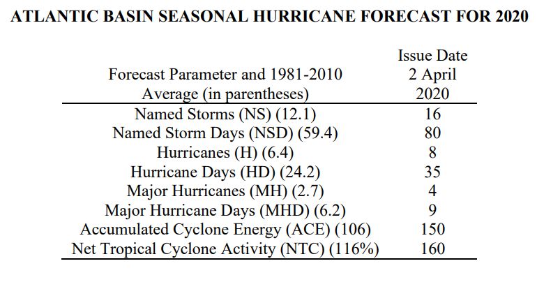
According to the outlook from Phil Klotzbach, at Colorado State University, the best estimate for Atlantic hurricanes this year is eight (the average is 6.4), with a total of 16 named storms (12.1). "The probability of US major hurricane landfall is estimated to be about 130 percent of the long-period average," Klotzbach's report states.
Before going further, let's acknowledge this: predicting overall hurricane activity two months before the Atlantic hurricane season begins is not the most robust of sciences. There is always the potential for a serious flub. For example, in April 2017, Klotzbach predicted four hurricanes during what was expected to be a quiet year, with just two of them becoming powerful "major" hurricanes. It ended up becoming the costliest tropical season on record in the Atlantic, with the formation of 10 hurricanes and six major hurricanes, including the destructive storms Harvey, Irma, and Maria.
But the program now led by Klotzbach has been doing this for nearly four decades, and more typically they come within one or two hurricanes of actual activity.
For 2020, Klotzbach sees several variables that indicate a busy year in the tropical Atlantic. A weak La Niña may form during the summer or early fall, which tends to increase overall activity. Moreover, the tropical Atlantic is warmer than normal, especially the Gulf of Mexico. These trends may well persist into the summer and fall and favorably influence the development of tropical systems. Various analog seasons with similar environmental conditions at this time of year also point toward a busier year.
Although the Atlantic season begins in just two months, the historically most active period does not come until about the middle of August, where activity ramps up through early October. Klotzbach will release his next forecast on June 4, when forecasters should have a better sense of whether La Niña will form.
reader comments
64