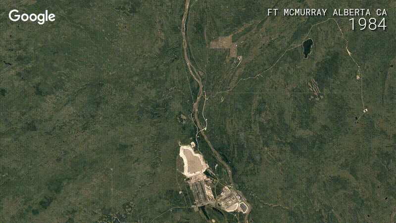
Google Earth Timelapse is a really awesome project that lets you turn back the clock on Planet Earth. In 2013, Google worked with the US Geological Survey (USGS), NASA, and TIME to compile a history of satellite imagery from 1984 to 2012. Today, Google updated the project with "four additional years of imagery, petabytes of new data, and a sharper view of the Earth from 1984 to 2016."
The new data isn't just "new" data—Google also managed to compile better older images of Earth thanks to the Landsat Global Archive Consolidation Program. Google says it sifted through 5 million satellite images from five different satellites, taking the best of the "three quadrillion pixels" to create 33 images of Earth (one for each year). Thanks to the plethora of data and Google's cloud-computing algorithms, you get all of this without any clouds blocking the view.
The images are up on Google Earth Engine, where the interactive "Timelapse" page basically looks like Google Earth, but with a draggable timeline and a "play" button. Google has even highlighted a few spots where viewers can watch a glacier melt away into nothingness or check out pretty much anywhere in China, which looks like a game of SimCity.
reader comments
55